Jagtafstand
Open the app. One tap.
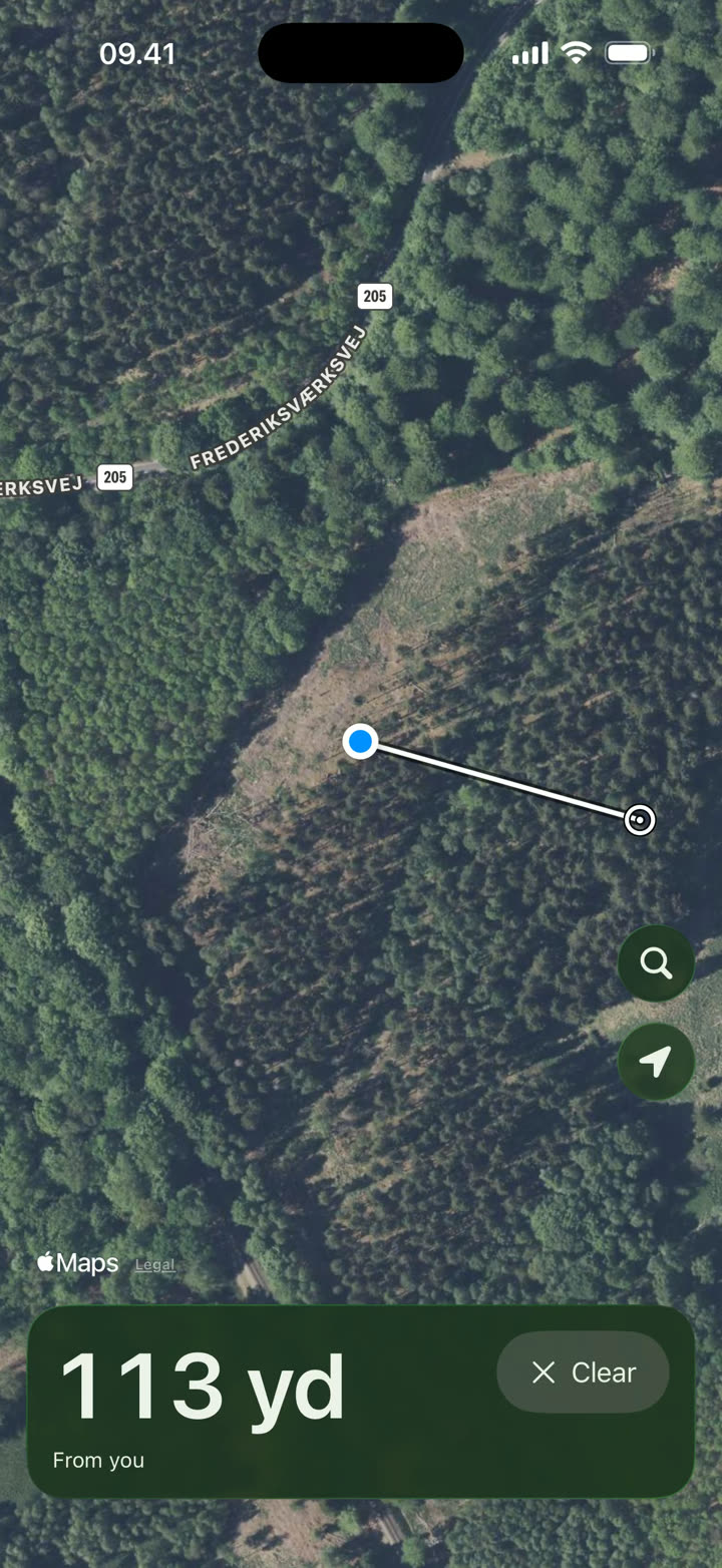
Tap one spot and see the distance from you. Jagtafstand opens straight on aerial imagery with road and place names, with no account and no setup. If you are more than a kilometer from the spot, or have no GPS, tap a start point first and then the target.
The app is coming to the App Store.
One tap
The distance from you to the tree line, the stand or the clearing. In yards or meters, following your iPhone's settings.
Search and measure
Search for a place or an address, tap two places and see the distance between them. Good for planning from home.
Nothing to set up
The app knows whether to measure from you or between two places. Clear starts over.
Jagtafstand is a guidance tool. Distances are calculated straight-line distances. Apple's aerial imagery does not state how accurately the picture is positioned, so a point on the image may be offset from the real world. Use judgment and common sense.
Your location is used only while the app is open, and only on your iPhone. Aerial imagery and search come from Apple and need an internet connection.
Made by Sandet Apps: the software should do the work, not you.
Free. No account. No data collected.